In August 1872, the pass was crossed by Civil War General Phillip Sheridan and 120 men returning from an inspection tour of Yellowstone. Rather than take the long detour down the Clarks Fork River to return to Billings, Sheridan took the advice of an old hunter named Greer, who claimed intimate knowledge of the Beartooth Mountains. When the road was opened in 1936, it essentially followed Sheridan's route over the pass.
I will admit there are no pictures from the Pass. See it is 67 miles of switchbacks and wandering roads BUT it was also under construction when we came through there. There was 18 miles of construction. Until we got through that, I was not stopping. When your riding along and the next sign you see says: "ROAD CONSTRUCTION AHEAD MOTORCYCLES USE EXTREME CAUTION". I tend to take those pretty seriously. I know that trees don't grow above 8000 feet due to lack of oxygen. I know that somewhere in the back of my head I knew that there would be ice up that high but it just didn't click. We had to stop and wait for the pilot truck and it was downright cold. Once we took off I nearly stopped and said no I wasn't going up that! We dropped off the pavement and my back tire sank into the gravel. The only thing I knew to do was 2nd gear, plant both feet firmly on the boards, scoot up to the tank, and put the brain in dirt bike mode.
Just as we are coming into the first good switchback in the gravel, I looked over and damned if there isn't a glacier. Yes the ice kind.... It was HUGE! I wanted a picture so bad, but at that moment I discovered that switchbacks, gravel, and motorcycles are scary as hell combined and thought better of stopping. The pilot truck takes you a little over halfway through it and then your on your own, two lane traffic, still on gravel but packed better.
Now I am from Texas as you all know and it doesn't get that cold down here. Of course I took a First Gear Kilimanjaro jacket, my leather shirt, and long finger gloves "just in case" (shameless plug).... Boy am I glad I did. We spent the next 5 days in that gear.
We came down off the mountain and ended up in the most wonderful town of Cooke City, MT. For those of you looking at your map, you will see that is right outside the NE gate of Yellowstone. The least used gate in all the park. It is closed during the winter as the annual snowfall average is around 500 inches a year. Yes that's hundreds. I could not picture that until I saw this: http://www.colorado-west.com/cooke/BD4.jpg
Cooke City has a summer population of 300. Yep that's all. They don't even have enough residents to fill all the summer jobs. There are numerous hotel / motels and places to eat and lots of jobs to fill. To combat this problem, the city and business owners contract with foreign exchange students on work visas to stay and work for the summer. It is really kind of neat because, lets say you eat breakfast at one place and their help is from Czechoslovakia, but the place across the street, their help is from Germany. They all speak English fairly well and it can get interesting when you have to explain the difference between medium and well done lol....
We got a room at the Alpine Motel. Nice little place and very biker friendly. We spent the evening exploring the gift shops, places to eat in town, and called it a night early so we could be up for the mountain morning sunrise. It was awesome just as I expected. We headed into the park after a light breakfast. The cool thing about going into Yellowstone is that you pay one price that covers 7 days and both parks, Yellowstone and Grand Teton.
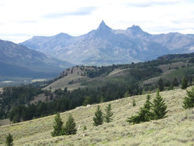
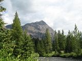
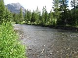
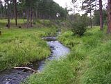
See the ice? That is Beartooth Pass from below, a valley on the way down, and the last picture shows why they are called the Beartooth Mountains. See the peak? Looks like a Beartooth. Going into Yellowstone you pass through Ice Box Canyon. It comes by its name honestly, it was COLD coming through there. You rolled out of Ice Box Canyon and into Lamar Valley which rolls alongside of the Lamar River. Lamar Valley is where the animals are along with lots of fly fishing going on.
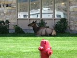
I don't understand people. There is signs all through the park that says use pull offs if your stopping, IE.. DON'T BLOCK THE ROADWAY! Ahh I guess no one reads those signs. Now please understand, I am on a air cooled motorcycle. That means not moving? No air. No air? Hot motorcycle. Hot motorcycle? Hot rider and not just from the heat. We are wearing long sleeve leather shirts and long finger gloves, most all day everyday, but that doesn't mean sitting still is comfortable.
The Northeast section of the park, as far as I am concerned, is the most beautiful part of the park. We spent the first day just driving the North end of the park. When you come in the NE gate, you travel along that road until you get to the Roosevelt Tower. This is where you can take the bus tours and gas up if you need. Gas stations are a long way in between so plan accordingly. We took a right and headed over towards Mammoth Hot Springs, which is really the only caldera feature on the North end.
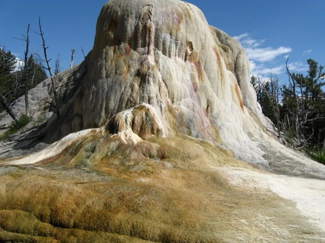
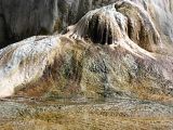
You pass rivers and creeks that have the coldest, clearest water. You then roll down to Norris which is where the museum is along with places to eat, get gas, shop (their souvenier shop is NICE), and it is also where some of the employee housing is. A number of years ago I actually applied for jobs at the park just on a whim. Man, I wish I had gotten that job. They house you, feed you, on site medical clinic, and the most amazing work environment you can imagine.
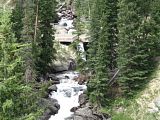
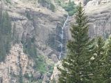
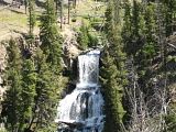
The park is shaped like a long oval with one road bisecting the middle gates, East and West. Part of that road from Madison to Norris was closed so we took a left and headed back up towards the NE gate through Canyon Village and Dunraven Pass. I have to say, there just isn't an ugly place in this park. We headed back to Cooke City for the night. We will explore the South end tomorrow.
No comments:
Post a Comment